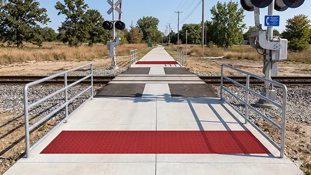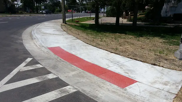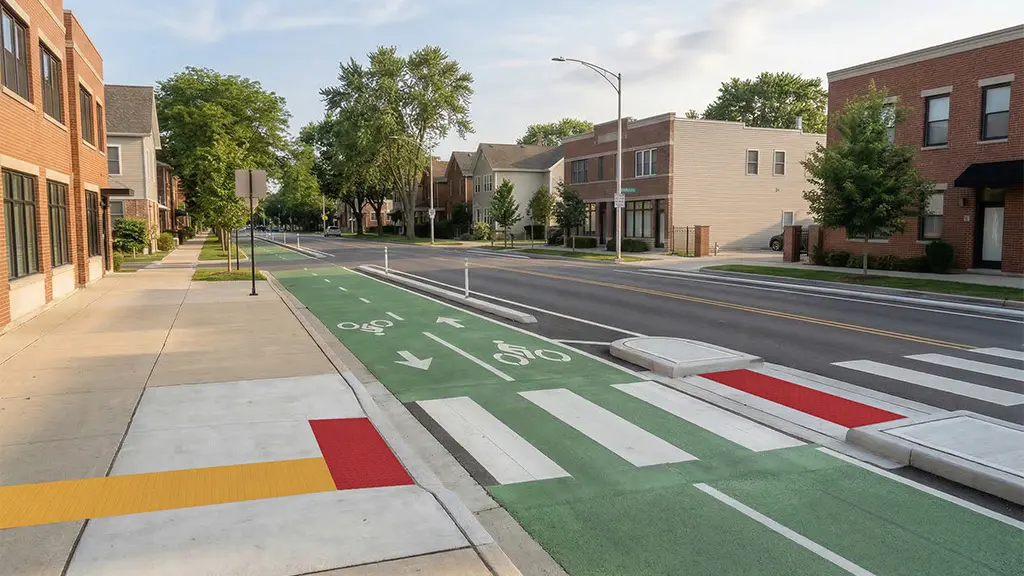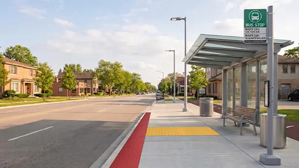
A pedestrian refuge island may occupy only a small part of an intersection, but from a pedestrian’s perspective it creates something important: a crossing that happens in stages.
Instead of traveling directly from one sidewalk to another, a person enters the roadway, reaches the refuge, and then begins a second crossing. Detectable warnings at pedestrian islands should be planned with that complete sequence in mind.
The first question isn’t simply, “Where does the tile go?” It’s, “What kind of island is this, and how does the pedestrian route move through it?”
Start with the Island Layout
Two refuge islands can look similar on an intersection plan while handling the pedestrian route differently.
Cut-Through Refuge Islands
A cut-through refuge island allows the pedestrian route to continue through an opening at or near roadway level rather than climbing onto a raised island.
For projects where PROWAG applies, detectable warning surfaces are located near both roadway edges of the refuge, with clear space between them.
The sequence looks roughly like this:
Street → warning surface → clear refuge space → warning surface → street
Generally, it is recommended that each warning surface be at least 24 inches deep in the direction of travel and to extend the full width of the pedestrian opening. It also establishes a minimum clear distance between the two detectable warning surfaces.
That separation matters because the two warning surfaces communicate two different roadway boundaries. Filling the entire refuge with truncated domes would eliminate the clear space that distinguishes one crossing from the next.
Confirm the exact placement and dimensions against the requirements adopted for the project.
Raised Islands with Curb Ramps
A raised pedestrian island works differently. Instead of moving through a level opening, the pedestrian uses curb ramps to enter and leave the refuge.
Think of the route as:
Sidewalk → curb ramp → refuge → curb ramp → sidewalk
In this configuration, coordinate the detectable warning surface with each curb ramp rather than automatically carrying over the cut-through-island detail.
The important point is not to specify a warning treatment based on the word island or median alone. Start with the geometry and the pedestrian route.
Treat the Refuge as Part of One Continuous Trip
Once the warning locations are established, trace the route all the way across the intersection.
Does the entrance into the refuge align with the route on the opposite side? Is there adequate clear space within the island? Can someone turn or reposition if the geometry requires it? Are slopes and drainage coordinated with the walking surface?
This is especially important at larger or irregular intersections. A refuge may technically separate two roadway crossings, but the pedestrian still needs to understand where to continue.
The island shouldn’t become a point where the route disappears.
Show Both Stages on the Plans
A standalone detectable warning detail can show tile dimensions perfectly while revealing very little about how the crossing actually works.
When planning detectable warnings at pedestrian islands or medians, show the full pedestrian route through the refuge whenever possible. Include the warning locations and dimensions, island opening or curb ramps, clear refuge area, and connection to the pedestrian route on both sides.
Use consistent terminology and orientation between the plan, detail, specification, and product information so reviewers and installers aren’t translating between different descriptions of the same condition.
Product selection comes after the layout is understood. Depending on whether the project involves new concrete or existing pavement, the appropriate TufTile material and installation method can then be selected for the actual site conditions.
Think in Crossings, Not Just Tiles
A pedestrian island is a place to pause between stages of a crossing. The detectable warning surfaces help communicate the roadway boundaries around that refuge, but they only make sense as part of the larger route.
Following the trip from sidewalk to island to far sidewalk makes it much easier to see whether the warning surfaces, clear space, ramps, and pedestrian path are working together.